The Peninsula is a nature lover’s playground for a slew of outdoor activities such as whale watching, tide-pooling, bird watching, and hiking. With the help of Terranea’s adventure concierge, expert James Felgar, and the Palos Verdes Peninsula Land Conservancy, who have been protecting and preserving the land since 1988—resulting in 42 miles of public trails on 1,600 acres—we weigh in on the top hiking trails in the area, including where to discover sea caves, starfish, and sea lions and the best vantage points for viewing migrating gray whales.
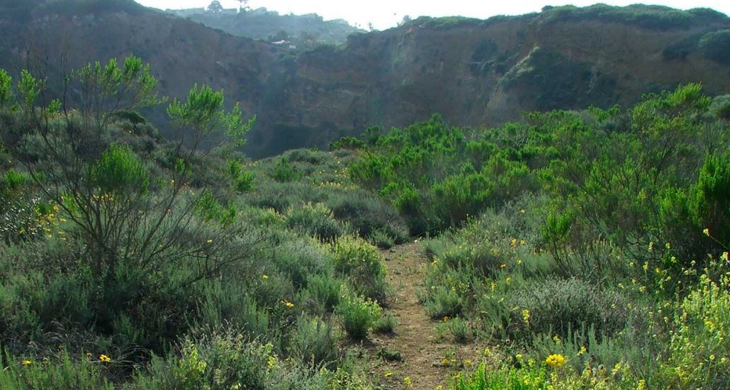
Portuguese Bend Reserve (Peacock Flats Trail, from Del Cerro Park and back)
Experience Level: Moderate to difficult
Distance: 1.7 miles
Expect to See: Native plants and coastal sage shrubs, cactus wrens, wildflowers, and ocean views
Insider Fact: Stretching 399 acres (divided into five separate canyons), this is the largest of 11 reserves within the Palos Verdes Nature Preserve, preserved by the Palos Verdes Peninsula Land Conservancy (PVPLC)
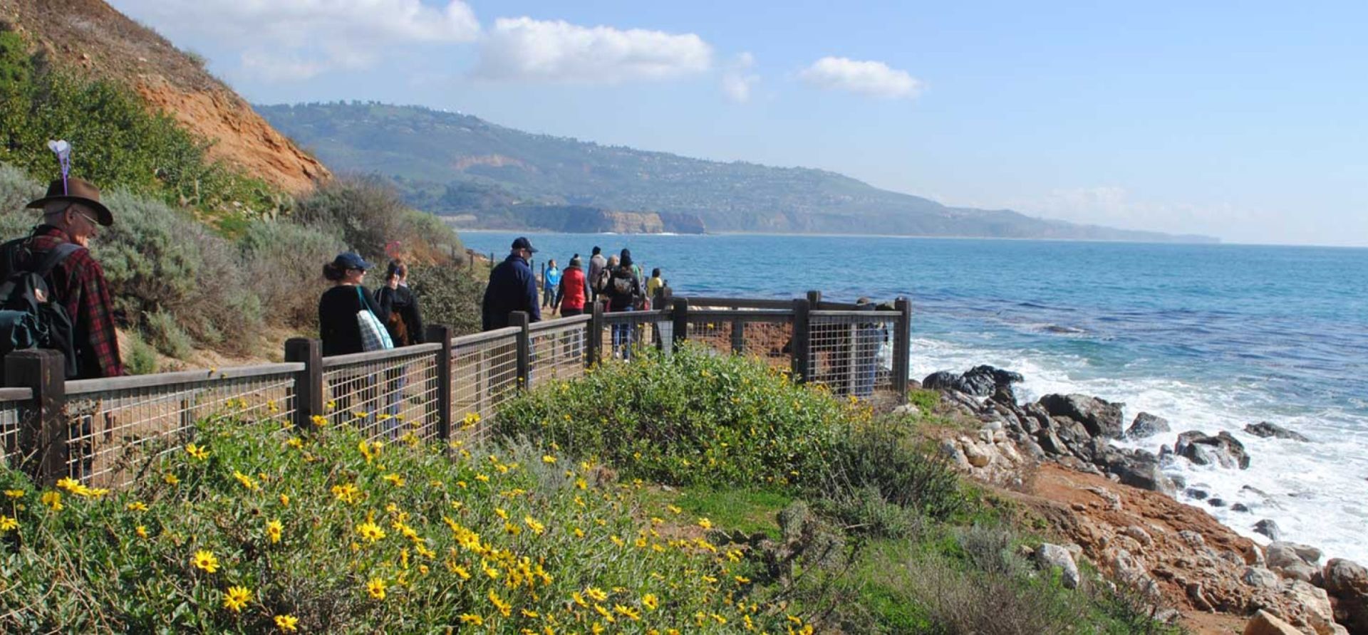
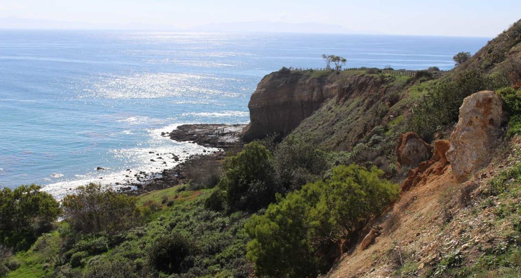
Vicente Bluffs Reserve
Experience Level: Beginner
Distance: This reserve winds along a 1.5-mile stretch of coastal bluffs west of Terranea Resort.
Expect to See: Point Vicente Interpretive Center and lighthouse, black basalt rock formations, sea lions, and ocean views
Insider Fact: The PVPLC has revamped pristinely manicured trails here and restored native plant life. If you’re lucky, you might spot the endangered El Segundo blue butterfly.
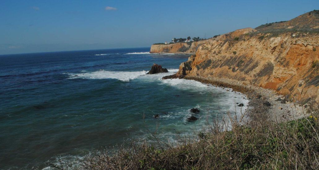
Terranea Bluff (Pelican Cove to beach at Terranea)
Experience Level: Moderate
Distance: 1.6 miles
Expect to See: The Point Vicente Lighthouse, Catalina Island and sweeping views of the Peninsula
Insider Fact: “Terranea’s Bluff Top Trail is another one of my personal favorite hiking destinations,” says Felgar. “I generally start by stopping by Terreana’s coffee shop, sea beans, to grab an iced chai for a little pick-me-up. After that I head down to the beach cove and listen to the waves. After leaving the beach cove, I head up the Bluff Top Trail past cielo point pool as the trail wraps around the front of the resort. There is a rock that is often visited by sea lions. Continuing up the trail past Nelson’s, I like to stop by the lookout above the sacred rock Toveemur, which is the large, pointy, rust-colored rock jetting out of the water between Long Point and Pelican Cove. I’ve seen gray whales migrate through during the winter and spring, and blue whales during the late summer. After, I walk up the trail and over to the Point Vicente Interpretive Center and check out the fun exhibits.”
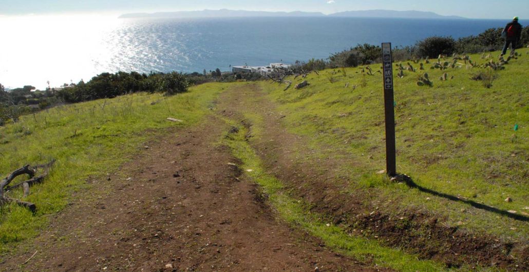
Forrestal Nature Preserve
Experience Level: Moderate
Distance: 2.3 miles
Expect to See: Wildflowers and prime ocean views
Insider Fact: “Hiking in Forrestal is another one of my favorite places to visit around the peninsula,” says Felgar. “There are many unobstructed views of the coastline, along with Santa Catalina in the distance. To access the trail, you can park at the Ladera Linda Community Center at the top of Forrestal Drive off of Palos Verdes Drive South and catch Pirate Trail behind the big tree. It eventually turns into Mariposa Trail with one of the most lush patches of Lemonadeberry I’ve seen anywhere on the peninsula. To make the hike longer, double back the way you came, or venture off into the adjacent Portuguese Bend Reserve.”
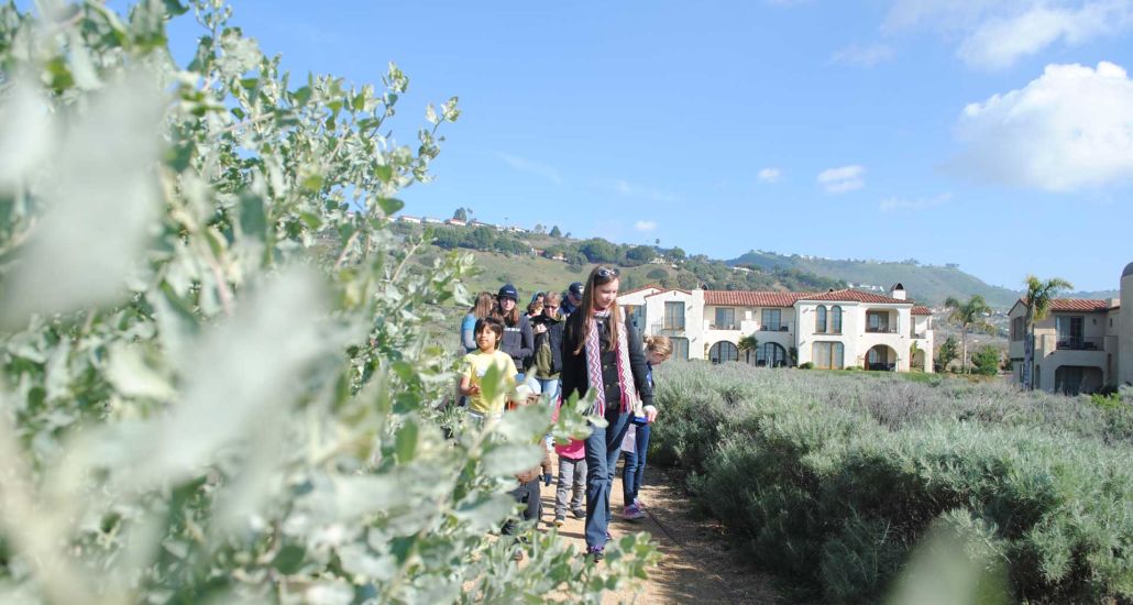
Abalone Cove Shoreline Park and Preserve
Experience Level: Moderate
Distance: Approximately 2 miles
Expect to See: Landscaped trails, interpretive signage, and tide pools resembling bustling “sea cities” with everything from starfish to sea snails, striped shore crabs, sea anemones, and tiny fish. If the timing is right, you might even catch a glimpse of a small octopus.
Insider Fact: “Abalone Cove is a very diverse hiking area with many different attractions,” says James. “Most of the trails are well-maintained and easy-going, with a few steeper sections. I take the trail down from the parking lot just off Palos Verdes Drive South. When I hit the beach, I head south to take a look at the tide pools and see what creatures I can find. It is always helpful to check the local tide chart when planning a trip to the tide pools. Ideally I like it to be below 1½ feet, and I get there about an hour before the actual low tide time. After checking out the tide pools, I venture up Olmstead Trail to Portuguese Point Loop Trail to get a birds-eye view of the tide pools. After, I wander over toward the southeastern side of the loop trail to get a view of the crystal blue water of Sacred Cove, dotted with long strands of kelp. If I am feeling up for it, I’ll take Cave Trail down, which is a fairly steep trail not suitable for small children. An alternate way down would be the southeast side of the cove along the top. From there, take Sacred Cove View Trail down to Cliffside Trail, which merges into Inspiration Point. Once in Sacred Cove, I like to check out both Portuguese Point as well as Inspiration Point to see the caves. From there, it is a long haul back to the parking lot, but the views make the walk back very pleasant.
For more guided nature walks and hikes, visit pvplc.org. Public trail and beach cove access is subject to government guidelines and may be limited or restricted. We encourage you to follow the guidelines from the City of Rancho Palos Verdes regarding the Palos Verdes Nature Preserve, parks, beaches, community centers, amenities and trails. For more information, visit RPVCA.gov.
Written by Jennie Nunn


